London Map Tote Bag
London Map Tote Bag
SKU:52-168
Couldn't load pickup availability
DESIGNER'S NOTES
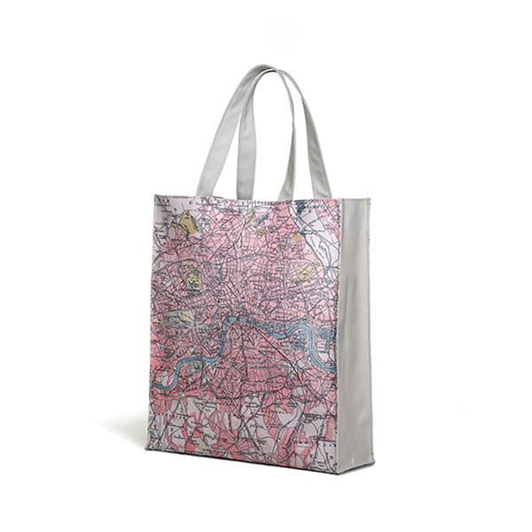
A laminated tote style bag featuring a segment from a 19th Century map of London.
Cartography in nineteenth century London reflected both rapid urban growth and advances in surveying technology. Early in the century, maps such as Richard Horwood’s detailed every house and street, a remarkable feat for a city expanding at unprecedented speed.
The Ordnance Survey, established for military purposes, began producing accurate sheets that gradually encompassed London, while commercial publishers like John Rocque’s successors issued folding maps for travellers and businessmen.
Railways and suburban development demanded constant revision, and cartographers experimented with colour-coding to distinguish parishes, wards and transport routes. Thematic mapping also emerged, most famously Charles Booth’s poverty maps of the 1880s and 1890s, which shaded districts by social condition, transforming cartography into a tool of social reform as well as navigation.
COLOURS

DETAILING
A high spec laminated canvas tote shopping bag. Fully Lined, fastened with a magnetic Clasp and with a separate zip fastened inner pocket.
- Length:
- Width:
- Wipe Clean
- Laminate
- Machine Finished
- Made in China